
Wanted to show you a levelgraph of our journey through the canals from Holland to the Mediterainien sea. We have just past the highest point on our trip 340 meter above sealevel, it is all down hill from here. 🙂
Ville lige vise Jer en diagram af vores rejse gennem kanalerne fra Holland til Middelhavet. Vi har lige passeret det højeste punkt på turen 340 meter over havets overflade. Her fra er det ned af bakke hele vejen. 🙂
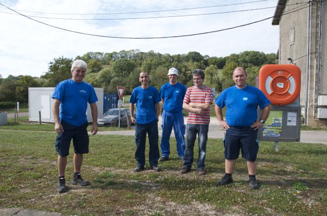
 On the top a great moment / På toppen et fedt øjeblik
 Here is the tunnel with the church on top / Her er tunnelen med kirken på toppen.
 135 that’s us, time to go through the tunnel / 135 det er os, grøntlys til at paddle gennem tunnelen.
 The tunnel is 4,8 km long and cool / Tunnelen er 4,8 km lang of kølig
 On the other side we where…
View original post 72 more words
